 Capto
Capto
Draw geospatial data in your browser, export it clean.
Capto is a free web tool for creating points, lines, and polygons on an OpenStreetMap basemap — with custom attributes, colour-coded layers, and one-click export to GeoJSON or KML. No install, no desktop GIS suite, and nothing you draw ever leaves your browser.
Free to use. We send the link to your email.
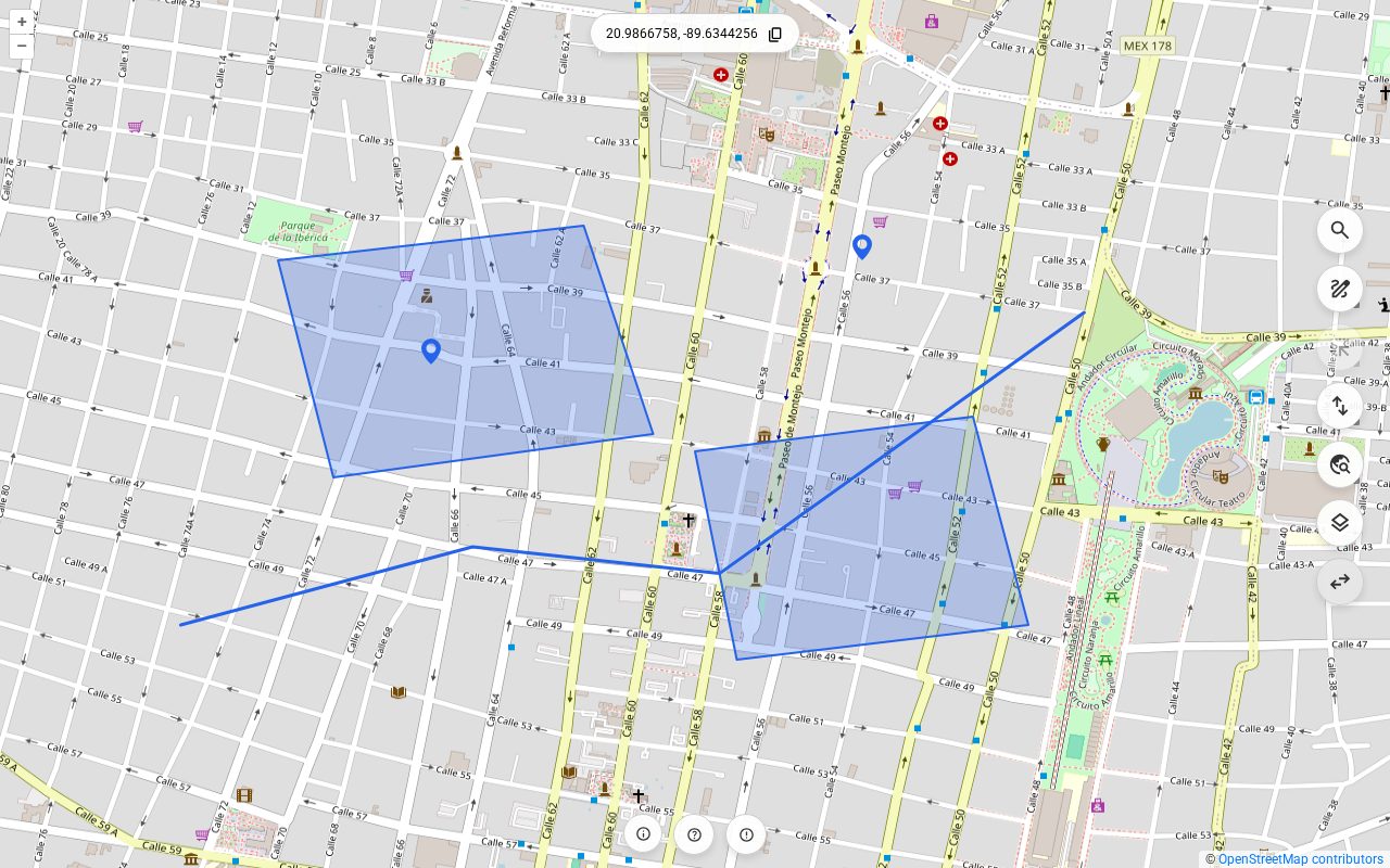
What you can do with it
Capto covers the part of a GIS workflow where you are creating the data rather than analysing it — sketching geometry, describing it, and handing it off in a format the next tool understands.
Three geometry types
Points, lines, and polygons — including interior rings, so a courtyard or a clearing is a hole in the shape rather than a second overlapping one.
Vertex snapping
Drawing or reshaping snaps to the vertices and edges of every visible layer, so adjacent parcels share an exact boundary instead of nearly one.
Attributes and schemas
Attach any key/value fields to a feature, and define a per-layer field list so new features start pre-populated. Edit them all in one table.
Layers with real symbology
Colour, stroke width, dash pattern, fill opacity, and label style — set per layer, overridden per feature when one shape needs to stand out.
GeoJSON and KML, both ways
Export what you drew, or import what you already have. Custom attributes survive the round trip in both directions.
Works without an account
Your features live in your browser's own storage. No project to create, no upload step, and no server holding your geometry.
What people use it for
Field work and site sketches
Mark what you found where, with the attributes that matter to your survey, and export it into the system that will keep it.
Getting data into a GIS
Digitise boundaries, routes, or sample points and hand QGIS, ArcGIS, or a PostGIS import a well-formed GeoJSON instead of a spreadsheet of numbers.
Teaching and demos
A whole class can draw geometry and see the resulting GeoJSON without anyone installing software or creating an account.
How access works
Capto is free. Access is by personal link so we know who is using it and can let you know when there is a new version.
Tell us who you are. Name, email, and — if you like — what you would use it for.
Confirm your email. We send a message with a confirmation link. This is the only step that needs your inbox.
Start drawing. Confirming takes you straight into Capto, and we email you the same link so you can come back from any device.
Request your access link
Free, and it takes a minute. We use your address to send the link and to tell you about new versions — nothing else, and never to anyone else.
Questions
Does my map data get uploaded anywhere?
No. The features and layers you draw are stored in your browser's own IndexedDB storage and are never sent to a server. The only data we hold is the contact information you type into the form above, plus a count of how often your access link is used. Details are in the privacy notice.
What formats can I export?
GeoJSON and KML. Both carry your custom attributes. GeoJSON also round-trips per-feature colours, label styles, and geometry styles, so a file exported from Capto and re-imported looks exactly as you left it.
Do I need to install anything?
No. Capto runs in any modern browser with IndexedDB support, on desktop or mobile. Because your work lives in that browser's storage, it will not follow you to another browser or device — export before you switch.
Why do I have to ask for a link?
So we know who our users are and can tell you when something changes. Capto is free and stays free; the link is personal, and you can ask us to delete your details at any time.
Can you build something like this for us?
Yes — that is what NFO Systems does. Capto is one of the web mapping tools in our Neomapa line; we also build custom mapping applications. Request your link and reply to the email that arrives.